I recently moved from Berkeley to Austin, the “Berkeley of Texas.”
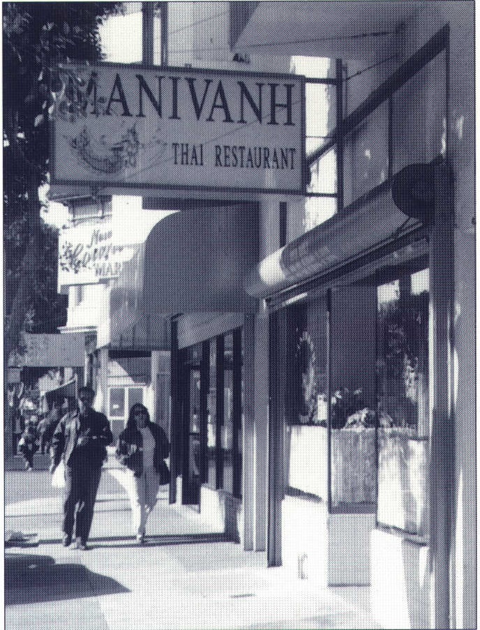
Although there are similarities, and Austin is certainly as close to Berkeley as Texas gets, there are plenty of things I miss about Berkeley. I miss the hills and the bay. I miss good Chinese food and Thai food, Super Burritos, and cheap, expertly made caffe lattes. Most of all, I miss having my favorite restaurants, a copy shop, a bike shop, a pet store, a bookstore, and a supermarket, all within a short and pleasant walk from home.
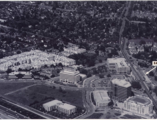
But I like Austin, “It’s easy,” I tell my friends, “it’s easy to get around.” Unlike Berkeley, Austin is built for cars. Arterials are wide with many lanes. Major arterials are being upgraded to freeways at an impressive rate, complete with three-lane frontage roads on each side. Of course, little room is left for bikes, let alone dedicated bike lanes, and little thought is given to the pedestrian in either residential or commercial areas. But as long as I’m in my car, getting around couldn’t be easier.
The difference between Berkeley and Austin, as I see it, is the difference between accessibility and mobility. In Berkeley, getting around by car is a pain, but I can get to the kinds of places I like. In Austin, I drive around easily, but it doesn’t really do me much good because I can’t get to the kinds of places I like. Of course, to some degree I have no one to blame but myself for Austin’s lack of accessibility. After all, the fact that I don’t like barbecue as much as burritos and I prefer walking to driving is a matter of taste and training.
But Austin’s lack of accessibility – the lack from my perspective – is the fault of others, too. It’s the fault of land use planners, whose traditional approach to zoning segregated rather than integrated land uses and whose long-range plans have failed to coordinate the city’s growth. It’s the fault of big retailers, who prefer big sites near freeways and expressways with parking ample enough to meet Christmas-season demand. It’s the fault of developers, who favor the fringe of the city where the land is cheap and plentiful. It’s the fault of my fellow Austinites who haven’t demanded the things I miss (partly because they don’t know what they’re missing) and who are perfectly happy to drive.
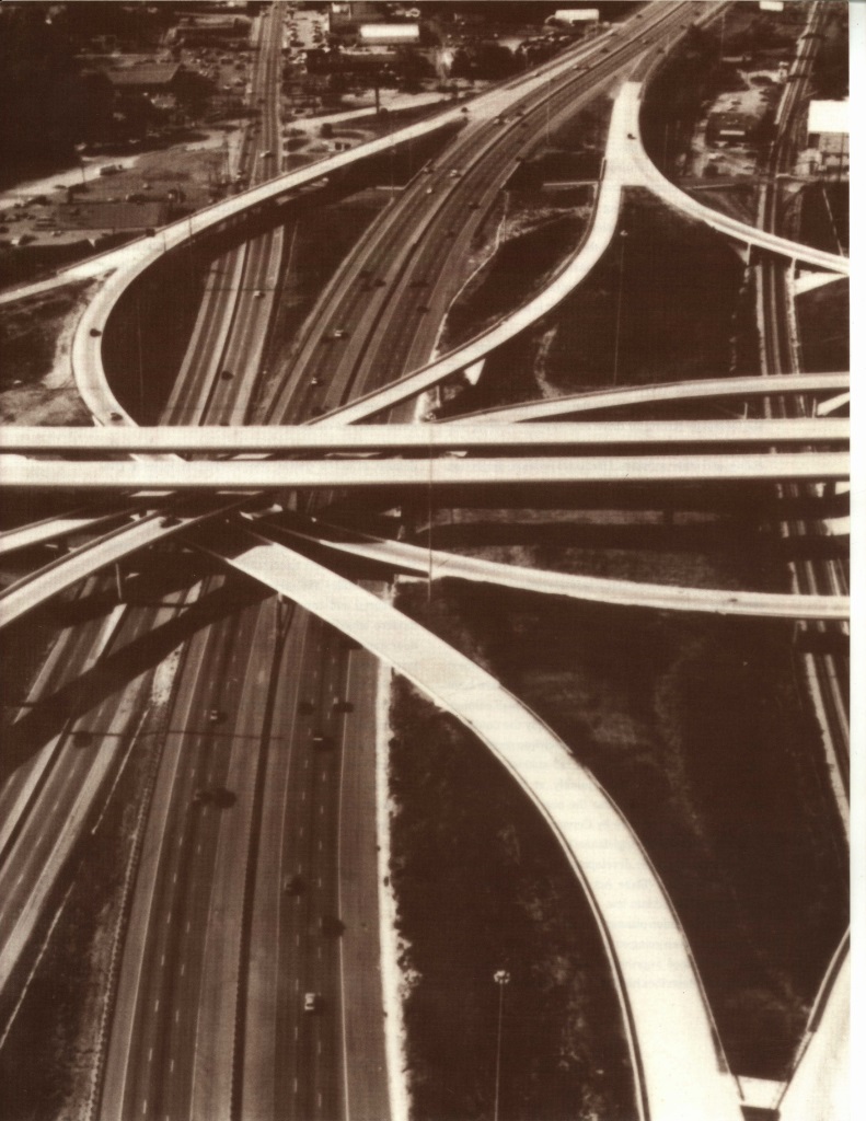
And it’s the fault of transportation planners, who have focused their attention on increasing road capacity to accommodate ever-increasing traffic. This approach might increase accessibility in the short run, but new freeways and expressways have enabled lower-density development throughout the city and have pushed the edge of the city outward. The resulting increase in mileage between activities and the automobile-orientation of the development that has occurred have killed off almost all nonautomobile alternatives.
Not only does this mean that accessibility declines, it means that automobile use increases, which means that congestion increases, which means that automobile travel times increase, which means that eventually accessibility declines even further. The net result is that despite all that road construction, it’s getting harder to get places.
Signs of Change
The problem is that transportation planners-in Austin and just about everywhere else – have historically focused their efforts on enhancing mobility, particularly automobile mobility, with little understanding of or thought for the long-run impact on accessibility. Fortunately, we are seeing encouraging signs of a broadening perspective, a growing awareness of the role of the transportation system in the development process and in the creation of livable communities.
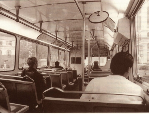
The Intermodal Surface Transportation Efficiency Act of 1991 (ISTEA) has helped to propagate the concept of a single, integrated transportation system, rather than a collection of competing modes. Although automobile – or more precisely highway and freeway – mobility is still the primary focus of the federal program (as shown by the breakdown of funding), ISTEA emphasizes transit and other nonautomobile modes as well.
Expanded alternatives to the automobile and improved coordination among modes will create a greater range of choice, and more choices in the transportation system will enhance accessibility.
A growing recognition of the importance of land use broadens the discussion further. Transportation planners increasingly view transportation and land use as complementary components of the larger metropolitan system. The question transportation planners often now ask is: how can we design communities to provide better environments for pedestrians, bicyclists, and transit riders and thus reduce automobile dependence? They may also ask: how can we provide more opportunities within closer distances and thus reduce total travel? Transportation planners are implicitly asking: how can we enhance accessibility by changing land use patterns rather than only by expanding the transportation system?
It’s not that transportation planners haven’t recognized the importance of land use in the past, but rather that they’ve left it to others. Transportation planners have traditionally taken the current or projected land use pattern as a given, then analyzed the implied generation and distribution of trips. They have focused on the performance of the transportation system, not the overall performance of the metropolitan system. In the emerging ISTEA way of thinking, transportation planners must consider how best to change land use patterns, as well as how best to change the transportation system. I don’t mean to say that transportation planners shouldn’t worry about movement. Rather, they should worry about movement not for mobility’s sake but for accessibility’s sake.
Three first steps are now needed: agreement on the distinctions between accessibility and mobility, consensus among transportation planners and everyone else involved on the goal of enhanced accessibility, and development of performance measures that will allow us to monitor our progress toward this goal.
What is Accessibility?
Accessibility is the potential for interaction, both social and economic. It is determined by the spatial distribution of potential destinations, the ease of reaching each destination, and the magnitude, quality, and character of the activities found there. Travel cost is central: the less that travel costs in time and money, the more places that can be reached within a certain budget and the greater the accessibility. Destination choice is also crucial: the more destinations, and the more varied the destinations, the higher the level of accessibility. Travel choice is equally important: the wider the variety of modes for getting to a particular destination, the greater the choice and the greater the accessibility. Accessibility is thus determined by both patterns of land use and the nature of the transportation system, although two people in the same place may evaluate their accessibility differently, as wants and tastes vary.
In contrast, mobility is the ability to travel, the potential for movement. It reflects the spatial structure of the transportation network and the level and quality of its service. Mobility is determined by such characteristics as road capacity and design speed and, in the case of automobile mobility, by how many other people are using the roads. Like accessibility, mobility may vary by person, as different people have different physical and monetary capacities. But mobility is a characteristic of the transportation system alone; it is one half of the equation only.
Good mobility usually contributes to good accessibility because it means easier travel between two points, but good mobility doesn’t do you any good if the places you’d like to reach don’t exist-my situation in Austin. And poor mobility doesn’t necessarily mean poor accessibility, if goods, services, and activities can be accessed without vehicular travel – by using telecommunications, for example-or within very short distances, as was my situation in Berkeley. Mobility is not a sufficient condition, nor is it always a necessary condition for accessibility.
The concept of accessibility acknowledges that the demand for travel is derived from the demand for activities. The concept of mobility ignores the derived nature of travel demand, focusing instead on the ability to travel, as though sheer movement were an end in itself. But mobility is only the means-activities are the end and accessibility the key.
Rethinking Our Goals
As a planning goal, accessibility has two critical advantages over mobility. First, it allows for trade-offs between land use and transportation policies and focuses attention on the level-of-service of the metropolitan system as a whole, rather than of just the transportation system. Policies designed to increase the mixing of land uses can be compared to policies designed to increase the capacity of an intersection, for example, by answering the question: what effect does each have on accessibility? Second, accessibility as a planning goal provides clear direction for policy makers. While increased mobility may be a good thing, higher levels of accessibility are inherently a good thing.
This means that transportation planners and land use planners must work together, for a change. The best example we have of coordinated transportation and land use planning is probably Portland, Oregon, where state-level mandates have pushed coordination: an urban-growth boundary was adopted at the same time that policies shifted away from freeway expansion, and land use plans are now being created for development of areas around current and future light-rail stations. Austin planners look longingly to Portland and dream of the day when cooperation between land use and transportation planners – and among the environmental community, the neighborhoods, and the developers – might be even half as good. Getting all parties to buy into the common goal of enhancing accessibility is a crucial step toward building livable communities.
Measuring Our Progress
If our goal changes, then the measures by which we monitor our progress must change as well. Because mobility has been so central to transportation planners, they almost universally use performance measures that reflect the ease with which vehicles can get through the transportation system-measures like freeway and intersection level-of-service, or volume-to-capacity ratios, or vehicle-miles-traveled. If our goal is accessibility, then we must abandon these measures and develop new measures that reflect the spatial distribution of activities and the ease of travel between them.
While it’s easy to say that planners and policy makers should develop and adopt measures of accessibility, it’s more difficult to say what form these measures should take. Accessibility has been measured in a variety of ways for a variety of purposes and it is not at all clear what the most appropriate measure is. Most importantly, if our concern is with accessibility and its contribution to quality of life in a metropolitan region, then our measures of accessibility must accurately reflect residents’ own evaluations – conscious and unconscious – of their community.
While an extensive literature on accessibility measures provides a place to start, a great deal more work is needed before we’ll understand how best to measure accessibility. A number of research efforts are underway, in fact, to develop new kinds of performance measures and may produce recommendations for measuring accessibility. Communities will find it even harder, however, to set accessibility standards and implement the policies necessary for reaching their goals.
Getting People to Where They Want to Be
If we start thinking about accessibility rather than mobility, we will begin to envision all kinds of new possibilities, new approaches, new solutions. Instead of fighting the endless conflict between maintaining mobility and controlling the negative effects of transportation, we can move on to constructive discussions of alternatives that enhance accessibility while protecting the environment and improving the quality of life in our communities.
Metropolitan life is rich because it offers a spectrum of opportunities for work, for learning, for shopping, for play. The problem with today’s metropolitan regions is not how slowly the traffic flows on the freeway during rush hour, but rather how hard it is to get from home to work, to the store, to a friend’s house-and sometimes to a good Chinese restaurant.
Further Reading
J. Black and M. Conroy, “Accessibility Measures and the Social Evaluation of Urban Structure,” Environment and Planning A, Vol. 9, 1977, pp. 1013-1031.
M.Q. Dalvi, “Behavioural Modelling,Accessibility, Mobility and Need: Concepts and Measurement,” in D.A. Hensher and P.R. Stopher, eds., Behavioural Travel Modelling (London: Croom Helm, 1979).
Reid Ewing, “Transportation Service Standards: As If People Matter,” Transportation Research Record, Vol. 1400, 1993.
Kevin Lynch, Good City Form (Cambridge: MIT Press, 1981).
J.M. Morris, P.L. Dumble, and M.R. Wigan, “Accessibility Indicators for Transport Planning,” Transportation Research A, Vol. 13A, 1979, pp. 91-109.
Wilfred Owen, The Accessible City (Washington, D .C.: The Brookings Institution, 1972).
G.H. Pirie, “The Possibility and Potential of Public Policy on Accessibility,” Transportation Research A, Vol. 15A, No. S, 1981, pp. 377-381.
M. Wachs and T. Gordon Kumagai, “Physical Accessibility as a Social Indicator,” Socio-Economic Planning Science, Vol. 7, 1973, pp. 437-456.