Travel By Design?

Randall Crane

Over the past few decades, most questions about land use/transportation linkages have dealt with the influence of transportation infrastructure on development patterns. Analysts have examined how highways and mass transit contribute to urban sprawl, how they affect the local balance of jobs and housing, or how they affect population density. There also exists a long, if less traveled, history of viewing these linkages from the opposite direction: examining how land use influences urban travel.

Download the PDF.

2017-05-31T21:38:12+00:00Categories: ACCESS 12, Spring 1998|Tags: |

Traditional Shopping Centers

Ruth L. Steiner

The New Urbanist goal to create pedestrian-friendly transit villages is hard to criticize. Transit villages promise reduced traffic congestion and heightened quality of life. Their formula is simple: Create clusters of houses, shops, jobs, and social services amidst neighborhoods where transit riders and pedestrians outnumber drivers.

Download the PDF.

There’s No There There: Or Why Neighborhoods Don’t Readily Develop Near Light-Rail Transit Stations

Anastasia Loukaitou-Sideris and Tridib Banerjee

In 1990 Los Angeles inaugurated the Blue Line amidst much fanfare as the first increment of a long-awaited light-rail system. The rail line connects downtown Los Angeles to Long Beach, traversing twenty-two miles of the poorest and most neglected neighborhoods in South Central Los Angeles. After six years, ridership has risen significantly, but areas around stations remain unchanged - disinvested, forsaken, and decaying – denying planners' dreams of transit villages and depriving surrounding communities of their hopes for a better economic future.

Download the PDF.

Transit Villages: Tools for Revitalizing the Inner City

Michael Bernick

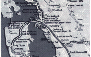
The Bay Area Rapid Transit system (BART) helped pioneer the development of metropolitan rail transit around the country. But did it accomplish all original goals? The initial 1956 plan primarily aimed to save old city centers and reorganize sprawling suburbs by inducing subcenters there. Spaced about 2.5 miles apart, station stops were to become points of high accessibility that would attract high-density residences, retail shops, and office employers. By reshaping the land market through transit-induced access, BART's planners sought to reshape the metropolis and to eliminate traffic congestion.

Download the PDF.

Transit Villages: From Idea to Implementation

Robert Cervero

One of the more disappointing transportation trends of the 1980s was mass transit's declining market share of metropolitan trips throughout the United States. Despite the infusion of tens of billions of dollars in public assistance for constructing new facilities and supporting bus and rail operations, transit's nationwide share of total commute trips fell from 6.4 percent in 1980 to 5.3 percent in 1990. In California, while transit journeys rose in absolute numbers during the 1980s (one of the few states where this was the case), transit's share of commute trips fell in the state's four largest metropolitan areas, despite their new rail systems: greater Los Angeles–5.4 to 4.8 percent; San Francisco Bay Area– 11.9 to 10 percent; San Diego–3.7 to 3.6 percent; and Sacramento –3.7 to 2.5 percent.

Download the PDF.

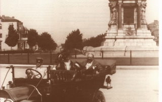
Great Streets: Monument Avenue, Richmond, Virginia

Allan B. Jacobs

Streets are more than public utilities, more than mere traffic conduits, more than the equivalent of water lines and sewers and electric cables, more than linear physical spaces that permit people and goods to get from here to there. To be sure, communication remains a major purpose, along with unfettered public access to property. These roles have received abundant attention, particularly in the latter half of the twentieth century. Other roles have not.

Download the PDF.

Go to Top