As California’s population expands to fifty million people over the next two decades, urban infrastructure will be under immense pressure. Partly in anticipation of growth, and partly to catch up after years of neglected investment, in 2006 California voters approved bond measures for transportation, affordable housing, education, disaster preparedness, flood prevention, and water projects. Most experts expect that even more funding will be needed to meet future needs. How can these funds best be spent to accommodate growth and avoid stressing California’s environmental, fiscal, and social resources? In particular, how can we use the next round of transportation investment to help us plan for a more sustainable future?
The first step in planning for sustainability is to step away from planning paradigms focused exclusively on specific land uses and single modes. For some time, transportation policy has split into advocates for and opponents of automobile travel. By focusing on modes, rather than on the needs of people and places, the debate has failed to take cognizance of a singular reality in most growing urban areas. Fast-growing metropolises need both expansions in infrastructure that supports automobile transportation and planning that supports alternatives to the automobile. It is not a matter of choosing one or the other, but rather of distinguishing appropriate locations and contexts for each.
The Two Faces Of Urban Growth
The link between transportation and urban growth patterns presents two different issues. On the one hand, California’s rapidly growing urban areas need to support higher densities, and one way to do so is with walking- or transit-oriented developments. On the other hand, car travel will remain the dominant mode of transportation for the foreseeable future, and California has a pressing need to manage congestion bottlenecks that threaten economic vitality and quality of life. Taken together, these two issues summarize concerns about growth in the core and growth at the fringe of metropolitan areas.
A sustainable regional investment program must consider both types of growth— development at the fringe and redevelopment in the core. The two are conceptually different and require different approaches to transport investment.
Growth At The Fringe
For decades, scholars have debated whether and how transportation infrastructure investments—and highways in particular—influence urban growth patterns. Recent research provides some clarifying evidence.
Nathanial Baum-Snow, an economist at Brown University, analyzed the contribution of the interstate highway system to population decentralization in 139 US metropolitan areas from 1950 to 1990. He concluded that had the interstate highway system not been built, population in the central cities would have risen by eight percent between 1950 and 1990, rather than declining by 17 percent as actually occurred.
Tests of specific highway corridors give similar results. With colleagues at UC Irvine, I have examined the effect of the initial segments of the toll road network in Orange County, California on urban growth patterns. Using a model that controls for several possibly confounding influences, we found that the earliest portions of the Orange County toll road network were associated with increases in employment in nearby census tracts that ranged from 1,700 to 6,200 new jobs. Since the average census tract near the toll roads had about 1,900 jobs in 1990, the effect of the toll roads on employment was not just statistically significant; it was important in relation to the county’s overall employment pattern. Saksith Chalermpong, in work funded by the UC Transportation Center, found similar results for employment growth near the Century Freeway (Interstate 105), which opened in Los Angeles County in 1993: employment was locating near the new highway capacity. When highways are built in outlying areas, metropolitan decentralization results.
 Currently, because California freeway investment has not kept up with population and employment growth, the freeway networks in California metropolitan areas are among the most congested in the United States. The Texas Transportation Institute estimated that in 2005 the Los Angeles-Long Beach-Santa Ana and San Francisco- Oakland areas ranked first and second among US metro areas in hours of congestion delay per traveler. Congestion itself is costly, not only in terms of wasted time but also from an environmental perspective. Congestion causes more emissions, including greenhouse gas emissions, than smoothly flowing traffic, for example. Congestion relief would therefore reduce environmental as well as economic costs for the state, while also relieving one of the stresses of daily life for many Californians. Yet building infra- structure may not, by itself, be a long-term cure for congestion. In growing areas, new investment in capacity can be “used up” in a few years; unless effective demand management and land use policies are in place, businesses and households will adjust locations and travel choices (destinations, trip frequencies, and modes) to take advantage of the new accessibility, and the added travel can lead to a return of congestion.
Taking all these findings into consideration produces a complex picture. Highway capacity influences metropolitan growth and can lead to decentralization. At the same time, highway investment can reduce congestion, providing social benefits including reduced travel times, lower emissions, and less energy used. However, unless coupled with effective travel demand management and land use policies, congestion relief may be short-lived. The question, then, is not whether to build new highways, but how to prioritize new highway investment so that the most important bottlenecks are targeted without causing unnecessary additional sprawl.
One strategy would be to focus on existing bottlenecks and to prioritize solutions for them. A decade ago, Eugene Jae Kim, Emily Parkany, and I built measures of peak-hour traffic volume as a fraction of highway capacity in California metropolitan areas. Caltrans continues to collect data that would allow similar highway segment congestion measures. With this data, we could map where the most congested segments are located, and we could then take action to relieve that congestion.
 Switching the emphasis to congestion measurement would bring about a useful change by refocusing on congestion relief now—as opposed to current practice, which concerns itself with future travel demand and congestion. The shift in emphasis would highlight the importance of congestion-relieving projects over growth-serving projects. While most highway projects are some combination of both, tilting the tables toward the most currently congested arteries would give lower priority to fringe highways that might induce additional exurban growth.
Yet a focus on relieving highway congestion will only be useful if planners understand that highway building is only part of the answer. Planning for growth at the fringe can focus on questions of automobile travel to some degree but planning for growth in California’s urban centers will require a broader focus.
Growth In The Center
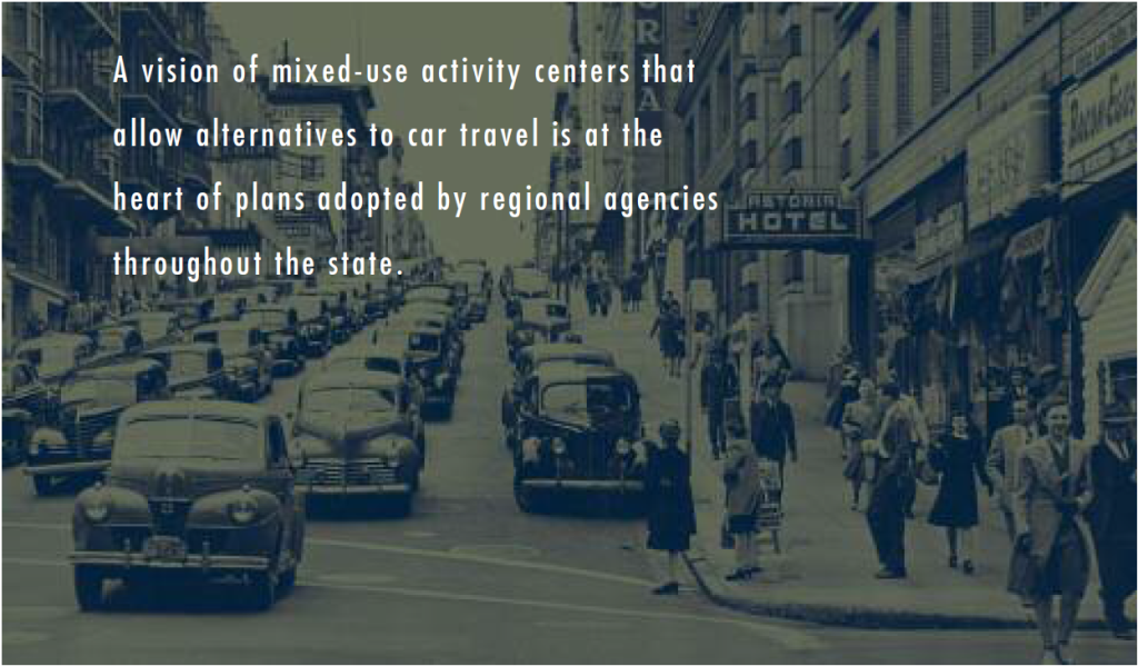
 California’s inner ring suburbs, developed in the two decades after World War II, are redeveloping at higher densities. California’s four largest metropolitan planning organizations have all recently developed long-term growth plans that emphasize mixed-use activity centers as growth foci. Smart growth, whether mentioned by name or not, is an organizing theme for the planning dialogue throughout California. A vision of mixed-use activity centers that allow alternatives to car travel is at the heart of plans adopted by regional agencies throughout the state.
How can transportation investment best support alternatives to car travel, and more importantly, what would a sustainable transportation investment program look like in redeveloping urban areas? Research illuminates some important points.
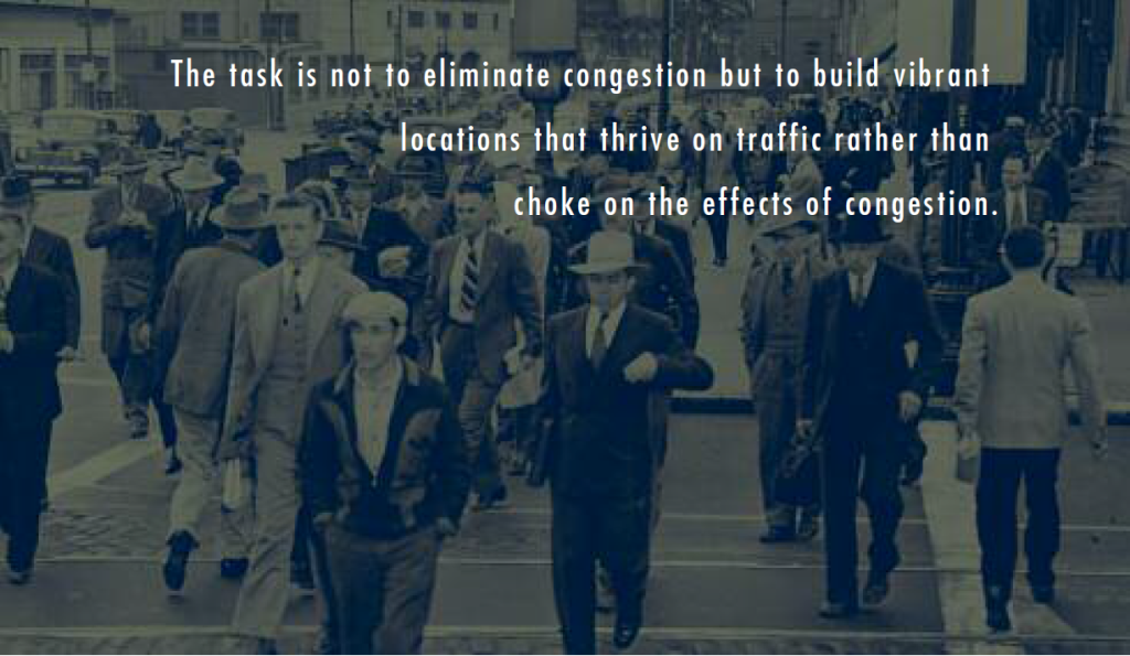
The role of congestion in a developing center is different from the role of congestion in more outlying locations. Congestion relief is not the only goal, or even the most appropriate goal, in nascent or evolving activity centers. Traffic congestion makes rail transit, bus travel, walking, and carpooling more attractive. This does not mean that blunt attempts to increase congestion in the hopes of encouraging travel by modes other than the automobile are advisable. But a single-minded focus on traffic congestion relief at all costs and at all places and times is equally ill-advised. Urban centers with vibrant combinations of land uses and functional pedestrian environments are typically congested. The task in these centers is not to eliminate congestion but to combine careful land use planning, parking management, and alternative transportation to build vibrant locations that thrive on traffic rather than choke on the effects of congestion.
Many California cities have what planning commentator Bill Fulton has called “dysfunctional densities.” These are densities high enough to swamp arterial streets with car traffic, but not high enough to sustain other transportation choices. In these cities, land use and transportation planning are not sufficiently coordinated to provide alternatives to car travel. Residents get the worst of both worlds: the disadvantages of density (traffic congestion) without the attendant advantages of activity centers where alternatives to car travel are viable.
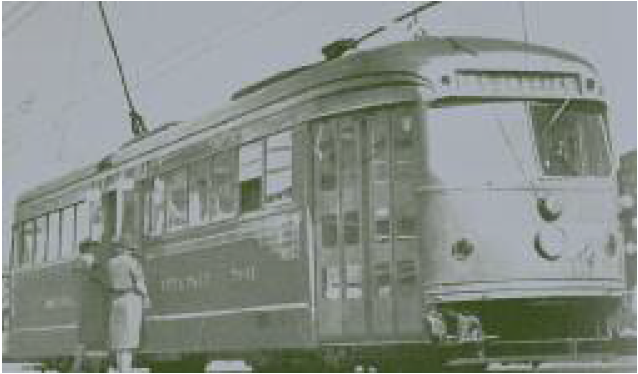
Walking is the lynchpin of functional activity centers.
In providing alternatives to car travel, walking is often the most important mode. Walking is the lynchpin of functional activity centers. As a practical matter, transit service in many of California’s nascent activity centers is limited, but even when good transit is available, getting to and from it depends on walking. Design and development changes that encourage walking thus can also facilitate more transit travel.
A major question for California is how to transform moderately dense, centrally located, highly auto-oriented neighborhoods into mixed-use, pedestrian-oriented activity centers. Recent research in the South Bay area of Los Angeles County indicates that two elements are key. First, well-functioning, mixed-use activity centers concentrate retail outlets in small central locations, rather than spreading them more evenly along corridors. The sidewalk and street design in these activity centers also focuses attention and travel toward the center. Second, the mix of retailing appears to be important. A striking result from the South Bay study is the role of grocery stores both in anchoring other neighborhood retail associated with walking travel and in shifting trips, including grocery trips, from driving to walking. Not all trips are easily shifted from driving to walking, but trips to the grocery store, along with trips for personal services and trips to eat meals, are more likely to shift to walking than are other trips.
These findings suggest that a way to promote alternatives to the automobile might start with identifying nascent activity centers where they can be successful. The follow- ing elements would be measured and evaluated: (1) Sidewalk infrastructure complete- ness and continuousness (or absence of gaps). (2) Retail mix that includes grocery stores, eating establishments, and neighborhood-serving businesses. (3) Street geometry that either focuses activity on the retail center or has the potential to do so, usually with pedestrian-friendly attributes such as street trees, benches, lighting, etc.
 Measuring these data items would allow us to identify and invest in places that have the elements needed to become pedestrian-friendly (or could readily develop these elements with an infusion of planning and infrastructure funding.) This approach has been less tested, and therefore would be more experimental than the congestion measure discussed previously, but it is no less important. Inventories of sidewalk completeness and measures of the spatial distribution of retailing, when combined with assessments of the centeredness of the urban design as outlined above, can help planners understand which places are most ripe for transformation into walking-oriented neighborhoods. While metropolitan planning organizations in California have already identified candidate activity centers, that process was typically based on regional transportation and land use trends, and should be complemented with data that give insight into the potential for specific neighborhoods to accommodate alternatives to automobile travel. Once identified, such evolving activity centers should be the foci of planning efforts and policy innovation to provide not just more density, but more livable and sustainable transportation options.
Conclusion
Sustainable transportation investment requires distinct approaches in the growing outlying areas and in the redeveloping cores of California’s metropolitan regions. Congestion relief and traditional highway investment, when carefully targeted, is a vital response to urban growth, but needs to be coupled with demand management (including pricing) and land use planning to produce lasting effects. Focusing on currently congested points should lead to more attention on existing highway bottlenecks and less on outward expansion. In existing or developing activity centers, possibilities will be available for promoting alternative modes—most importantly, walking. In both cases, simple measurement and data analysis approaches can help decision makers identify the best sites for investment.
 In highway planning, tilting the tables toward congestion relief and away from growth-serving roads is appropriate, as is measuring and addressing current congestion rather than focusing on future congestion. Supporting alternatives to automobile planning will be increasingly important, and toward that end collecting consistent data on sidewalk coverage, retail mix, and street geometry can help highlight locations where transitions to non-motorized or transit travel are likely or viable. When used in combination with existing tools, the planning approaches proposed here will allow a more sophisticated focus on both aspects of California’s rapid metropolitan growth, and point the way toward coordinated investment and planning efforts that can foster congestion relief, sustainability, and neighborhood development.
Further Readings
Nathaniel Baum-Snow, “Did Highways Cause Suburbanization?” Quarterly Journal of Economics, vol. 122, no. 2, 2007.
Marlon G. Boarnet, Eugene Jae Kim, and Emily Parkany, “Measuring Traffic Congestion,” Transportation Research Record, no. 1634, 1999.
Marlon G. Boarnet and Saksith Chalermpong, “New Highways, Induced Travel, and Urban Growth Patterns: A Before and After Test,” University of California Transportation Center working paper number 559, 2002. Available at http://www.uctc.net/papers/559.pdf.
Richard Funderburg, Hilary Nixon, and Marlon G. Boarnet, “Linking Highway Improvements to Changes in Land Use with Quasi-Experimental Research Design: A Better Forecasting Tool for Transportation Decision-making,” Mineta Transportation Institute, San Jose State University, 2008 (draft report).
Kenneth Joh, Marlon G. Boarnet, Mai Nguyen, William Fulton, Wally Siembab, and Susan Weaver. Accessibility, Travel Behavior, and New Urbanism: Case Study of Mixed-Use Centers and Auto-Oriented Corridors in the South Bay Region. Paper presented at the 2008 meeting of the Transportation Research Board and forthcoming in
Transportation Research Record: The Journal of the Transportation Research Board. 2008.
Mark Hansen and Y. Huang. “Road Supply and Traffic in California Urban Areas.” Transportation Research A, vol. 31A, no. 3, 1997.