Investing in Transportation and Preserving Fragile Environments

Martin Wachs and Jaimee Lederman

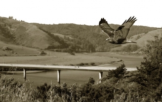
In the early 1970s, the California Department of Transportation (Caltrans) owned large tracts of environmentally sensitive land near Beach Lake in the Sacramento River Valley. The land, acquired in anticipation of future projects but deemed no longer necessary, was to be declared surplus property and sold according to department protocol. One enterprising staff member, however, was thinking differently. He urged Caltrans to hold on to the land and use it for environmental mitigation credit to offset damage from future transportation projects in other areas. In an unusual move, the agency adopted his creative proposal, and the experiment paid off handsomely. In the following decades, the land fulfilled mitigation requirements for 49 separate projects in 14 counties with documented cost savings to Caltrans of over $25 million.

Download the PDF.

Cutting the Cost of Parking Requirements

Donald Shoup

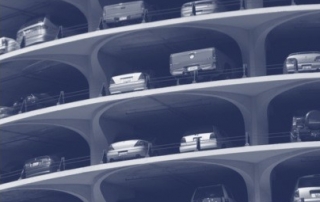
At the dawn of the automobile age, suppose Henry Ford and John D. Rockefeller had hired you to devise policies to increase the demand for cars and gasoline. What planning regulations would make a car the obvious choice for most travel? First, segregate land uses (housing here, jobs there, shopping somewhere else) to increase travel demand. Second, limit density at every site to spread the city, further increasing travel demand. Third, require ample off-street parking everywhere, making cars the default way to travel.

Download the PDF.

Does Transit-Oriented Development Need the Transit?

Daniel G. Chatman

Urban planners have invested a lot of energy in the idea of transit-oriented developments (TODs). Developing dense housing near rail stations with mixed land uses and better walkability is intended to encourage people to walk, bike, and take transit instead of driving. But TODs can also be expensive, largely because rail itself is expensive. In one study, the average cost for light rail construction was $61 million per mile in 2009 dollars.

Download the PDF.

Life-Cycle Impacts of Transit-Oriented Development

Matthew J. Nahlik and Mikhail Chester

There is a growing interest in pedestrian and transit-oriented development as a way to reduce the cost of transportation and home energy use. Yet there is little knowledge of how much alternative travel modes and compact developments reduce environmental impacts and household costs. As US cities begin to rethink their growth, city planners need better tools to measure the environmental and economic effects of infrastructure redesign.

Download the PDF.

The First Big-Box Store in Davis

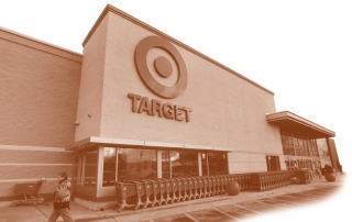
Susan L. Handy, Kristin Lovejoy, Gian-Claudia Sciara, Deborah Salon, and Patricia Mokhtarian

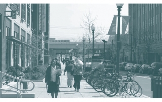
Davis, California, is well-known in transportation circles for having the highest share of bicycle commuters in the US, due in large part to pioneering efforts starting in the 1960s that created an extensive bicycling network. Less well-known is the substantial effort Davis has made to avert the kind of sprawl found in most US cities. Multi-family housing is distributed throughout the city, neighborhood shopping centers are within a short bike ride for most residents, and the city has improved sidewalks, landscaping, and public spaces to promote its traditional downtown. Davis restricts development beyond the current urban boundary while at the same time encouraging infill development within the boundary. As a result, Davis is the sixth densest urbanized area in the US and an exemplar of what small cities can achieve with coordinated policies and careful planning.

Download the PDF.

Suburban Transit in Mexico City

Erick Guerra

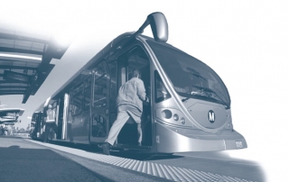
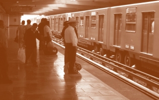
Over the past decade, governments and development agencies have invested significantly in high-capacity transit in Asian, Latin American, and African cities. Beijing’s subway system grew from just two lines in 2000 to one of the world’s largest metro systems today. Each year, a dozen new Bus Rapid Transit (BRT) lines open in cities around the world. Concerns about economic competitiveness, congestion, sprawl, pollution, and accessibility for the poor and middle class motivate these investments.

Download the PDF.

What Density Doesn’t Tell Us About Sprawl

Eric Eidlin

Sprawl has no single definition. Many people, however, tend to think of "sprawling" cities as places where people make most of their trips by car, and non-sprawling cities as places where people are more likely to walk, cycle, or take transit. This is why Los Angeles, which has more vehicles per square mile than any other urbanized area, and where transit accounts for only two percent of the region's overall trips, is considered sprawling, while the New York urbanized area is not. We also know (or think we know) that places where people frequently walk, cycle, or take transit tend to have high population densities, and for this reason we tend to view low density as a proxy for sprawl. But as it turns out, the Los Angeles urbanized area—which in both myth and fact is very car-oriented—is also very dense. In fact, Los Angeles has been the densest urbanized area in the United States since the 1980s, denser even than New York and San Francisco.

Download the PDF.

2018-02-16T21:55:30+00:00Categories: