In 2008, California adopted the Sustainable Communities and Climate Protection Act, or SB 375. Enforced by the California Air Resources Board, SB 375 seeks to lower greenhouse gas emissions by changing land use and travel behavior. The law requires each of the state’s metropolitan planning organizations to create a “Sustainable Communities Strategy,” which outlines an integrated regional transportation and land use plan to meet state-prescribed 2020 and 2035 greenhouse gas targets.
The regional targets vary based on local differences in strategy and population growth. Rather than prescribing specific measures, SB 375 affords local and regional planners flexibility. To achieve their targets, however, regions must depart from prior transportation and land use policies that subsidized cars and led to sprawl.
The Regional Targets Advisory Committee, a group of policymakers and technical experts who advise the California Air Resources Board, suggested that targets be equitable, ambitious, and achievable. That is, no region should suffer an excessive or unnecessary burden to accomplish its greenhouse gas target. But setting SB 375 emissions targets without excessively burdening regions requires planners to actively manage trade-offs within regions. Planners must understand the nuances of available policy and planning options in order to achieve balance.
Planners need to 1) understand the differences between greenhouse gas emissions and criteria pollutants; 2) account for how reducing emissions in one area may increase them elsewhere; 3) accurately measure current emissions levels and plan for a range of future scenarios; and 4) use the best tools available to craft the most effective, efficient, and equitable policies for their communities and regions.
California needs to coordinate improvements to forecasting models, measurement methods, and data collection for planners to have the best tools and information available to implement SB 375.
Without the information needed to manage trade-offs, tensions may arise as neighboring jurisdictions pursue conflicting policies. The results could be all pain and little gain: unnecessary hardships paired with small reductions in greenhouse gas emissions. California needs to coordinate improvements to forecasting models, measurement methods, and data collection for planners to have the best tools and information available to implement SB 375.
Greenhouse Gases v. Criteria Pollutants
 Greenhouse gas emissions differ substantially from traditional pollutants in their impacts and abatement strategies. Traditional air contaminants, known as criteria pollutants, include ozone, particulate matter, and carbon monoxide. These pollutants can affect health and the environment anywhere from a few feet to a few hundred miles away. In contrast, greenhouse gas emissions do not affect local conditions but instead accumulate in the atmosphere over time and contribute to global climate change. The exact location of smog-forming pollution is important, but this is not the case for greenhouse gases.
Metropolitan planning organizations have decades of experience forecasting vehicle emissions for their Regional Transportation Plans. Unfortunately, existing criteria pollutant models, such as California’s EMFAC air quality model, do a poor job of estimating carbon dioxide, the principal greenhouse gas. Conventional calculations incorporate average vehicle speeds, type of emissions control technology, and distance traveled. Vehicle carbon dioxide emissions, however, depend on fuel use and carbon intensity, which standard models struggle to estimate accurately. The models also tend to underestimate carbon dioxide emissions because they do not fully capture the effects of hills and stop-and-go traffic. Planners should therefore adopt new models such as the US Environmental Protection Administration’s MOVES, which estimate fuel use rather than the effectiveness of a vehicle’s catalytic converter and other emission-control technology.
Because greenhouse gases affect the climate regardless of their source, planners must address them differently from the way they have addressed criteria pollutants. Local hotspots of criteria pollution require careful attention because they can lead to disastrous health outcomes, like increased childhood asthma rates. Greenhouse gas hotspots in dense urban areas, however, can reduce total emissions because they often have below-average levels of emissions per capita.
Avoiding Leaks
Policies that reduce emissions in one city can increase them in another. For example, the average Berkeley resident, who enjoys a temperate climate and a plethora of transportation options, has a lower greenhouse gas emissions footprint than the average Bay Area resident. To reduce regional per capita emissions, planners will want to place new housing in greenhouse-gas-efficient communities like Berkeley. However, new housing will likely contribute to a net increase in greenhouse gas emissions for the parcel and the city. If Berkeley’s goal is to reduce its own greenhouse gas emissions, it will reject new housing and focus on reducing emissions from existing sources. The demand for new housing units will be met somewhere else in the region, likely a place with higher demands for driving and air conditioning.
If all greenhouse-gas-efficient cities like Berkeley seek to minimize their own footprints, future growth will occur in higher-emission areas. The resulting regional and global emissions will be higher than if new households move to greenhouse-gas-efficient neighborhoods. Because the location of greenhouse gas emissions is atmospherically unimportant, this result is bad for both Berkeley and the planet. Thus, in order to achieve regional and statewide emissions reductions, absolute emissions levels will increase in some communities and on some parcels.
The Need to Forecast
Planners need the best forecasting tools available to understand how today’s planning and policy decisions will affect future emissions levels. Accurate measurement of current greenhouse gas emissions provides the foundation for future forecasts. Forecasts are necessary to account for the lag between the implementation of a policy decision and the time when emissions changes can be measured. Consider a new rail transit line: several years will elapse between project approval and operation, and decades more will pass before ridership stabilizes and planners can measure the line’s effects. A region striving to reduce greenhouse gas emissions will want to estimate the performance of their plans, policies, and projects before they start construction.
 If measuring past emissions is a science, then forecasting future emissions is an art. Forecasting the future ridership of a transit line, the displaced vehicle trips, and the fuel efficiency of those vehicles is difficult enough in isolation. Forecasting emissions is even more difficult when cities, regions, the state, and nation concurrently implement emissions policies. Most models are designed to forecast a single system in isolation, such as the ridership response to a new transit project. Isolated models are unlikely to provide planners the information they need amidst changing policies and markets at the local, regional, and national levels.
English statistician George Box wrote, “Essentially, all models are wrong, but some are useful.” To prove useful for implementing SB 375, planners need models that provide them with the information they need to manage trade-offs in goals and objectives. The foundations for such models currently exist in California agencies: discrete choice and equilibrium-based land use models, activity-based transportation models, and integrated modal emissions models. These models, however, must use the latest empirical data, integrate with each other, and account for the complexity of urban systems.
Current models are starved for good data. If data are available, they are usually based on studies that attempt to isolate the effects of a single policy or measure. Little information exists on the interaction between measures that cities and regions pursue. The collection of transportation and land use policies that will be implemented in California extend beyond the existing sample used for forecasting, and even the best forecast models currently available rely on simple extrapolation and other assumptions, reducing their validity in assessing complex outcomes.
Thinking Equitably
California’s cap on emissions from transportation fuels, starting in 2015, will raise gasoline prices and place a disproportionate burden on exurban communities like Barstow, where many residents commute long distances by automobile. This burden will be lower in dense areas with multiple transportation options, like Berkeley. It is likely that current and future Berkeley residents will adapt better to a low-carbon California compared to residents of Barstow.
Communities like Berkeley have already implemented many of their options to reduce the average resident’s carbon footprint. Such communities can best serve the state’s low-carbon transition by accommodating additional residents. Communities like Barstow have greater exposure to future fuel price increases, but also have plentiful opportunities to reduce transportation emissions, such as through ridesharing and vanpooling for long-distance commuting.
If California is to achieve equitable, effective, and efficient emissions reductions, targets must be sensitive to local conditions. An across-the-board 15 percent reduction in community emissions could lead Berkeley to reject new residents while Barstow would stop short of efficient implementation measures. Instead of uniform targets, the state should develop a fair-share emissions measurement and attribution framework that considers both the options available to local jurisdictions and possible conflicts among jurisdictions.
California should use scenario forecasts to identify jurisdictions that can most effectively and efficiently control their emissions.

A new fair-share emissions measurement and attribution framework isn’t the easiest proposition. Attributing greenhouse gas emissions to communities is more challenging than attributing emissions to states and nations. People, vehicles, and the effects of policies aren’t constrained by local jurisdictional boundaries. The result is that while local governments affect only a portion of emissions within their boundaries, their policies also affect emissions elsewhere. Given these challenges, California should use scenario forecasts to identify jurisdictions that can most effectively and efficiently control their emissions. Such a framework would help communities and regions identify good policies and projects while implicitly adjusting for factors outside of local control. This framework logically extends prior practice; the California Air Resources Board used regional scenario forecasts to set the targets for SB 375.
Solutions for California
The need to improve local and regional greenhouse gas emissions measurements—to control for leakage, to improve emissions forecasts, and to attribute emissions equitably—may seem daunting. Accomplishing all of these goals, however, requires the same work: better data, methods, and models.
The state has the scale, expertise, and resources to coordinate a program that will also serve as a template for other states. With established standards, modelers can work toward automated processing of input data. Anonymous travel data from smartphones and global positioning system receivers will provide a robust yet sensitive data collection option to quickly improve models.
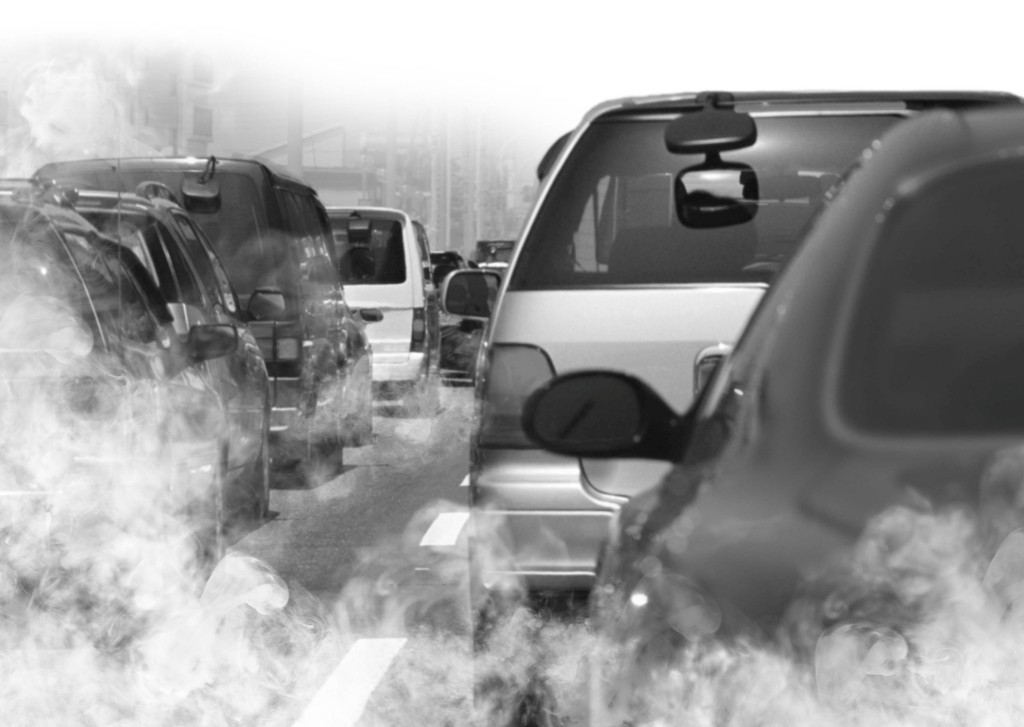
California’s transportation sector accounts for 36 percent of greenhouse gas emissions in the state. Consequently, the state needs effective policies to address these emissions. If California can combine a better understanding of the complex factors that influence greenhouse gas emissions with a new framework to attribute responsibility for these emissions, it will be on track to meet its targets in an efficient and equitable manner.
This article is adapted from “The Local Regulation of Climate Change,” originally published in The Oxford Handbook of Urban Planning.
Further Readings
J.R. DeShazo and Juan Matute. 2012. “The Local Regulation of Climate Change,” The Oxford Handbook of Urban Planning, Edited by Rachel Weber and Randall Crane, New York: Oxford University Press.
Juan Matute. 2011. “Measuring Progress toward Transportation GHG Goals: Required Actions for Successful SB 375 Implementation,” (Working Paper), UCLA Luskin Center for Innovation.